Skip to content

The 2026
challenges

NASA and its partner space agencies set 14 challenges for 2026. At HackAthlone, 67 teams took them on and 42 submitted a project to NASA. Here is what they built.

  1. Fri 13 NovOpening ceremony, Pitch-Fest and team formation
  2. Sat 14 Nov ∙ 09:00Project work began, with mentors on hand all weekend
  3. Sun 15 NovFinal presentations and awards

The weekend in numbers

Teams formed in Athlone
67
Projects submitted to NASA
42
Of the 14 challenges taken on
13
People on the teams that submitted
146
Projects with their code open on GitHub
25

The podium

  1. 1st place

    HOUSEFAX

    Dancing with the SARs

  2. 2nd place

    Harvest Star

    by National Agricultural Spud Administration

    Field Shift: Adapting Farms with NASA Data

  3. 3rd place

    Beacon: Live Survival Routing for Every Marswalk

    by Team Beacon

    Interplanetary Survival Guide: Martian Map

Local prizes

  1. Best Use of Open Data

    Erevna

    Be An Earth System Trend Detective!

  2. Best Storytelling and Creativity

    AstroNiche

    Interplanetary Survival Guide: Martian Map

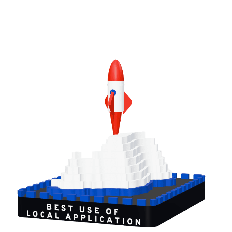
  3. Best Local Application

    Alice In Astral-land

    Abandoned but not Forgotten: Storytelling about NASA’s Discarded Equipment on the Moon and Mars

  4. People’s Choice

    HOUSEFAX

    Dancing with the SARs

  5. Most Viral Post

    Being decided

Main language of the code

  1. Python8
  2. JavaScript4
  3. TypeScript4
  4. C#3
  5. GDScript2
  6. HTML2
  7. Java1

From GitHub, for the 24 projects whose repository names one.

What teams built

Every project Athlone teams submitted in 2026, by challenge, from the teams’ own Space Apps pages. Links open in a new tab.

Create Health Monitoring Software for Astronauts on Space Missions ∙ 9 projects

The challenge
    • 2026

    BioSphere Sync

    Create Health Monitoring Software for Astronauts on Space Missions

    CHECKPOINT is an offline-first prototype designed to support crew awareness during medical and operational incidents on long-duration space missions, where communication with Earth may be delayed. It brings simulated crew vitals, radiation exposure, cabin conditions, alerts, incident coordination, tasks, and message queues into one mission-control interface. A data-quality panel highlights missing or stale readings, while guest mode lets users explore fictional emergency scenarios without creating an account. By making uncertainty and communication delays visible, CHECKPOINT helps operators organize information and coordinate human review when timely support is limited. The project demonstrates how a crew could maintain a clearer picture of an evolving situation in isolation. It is a simulation, not a certified medical device, and is not intended for real patient or sensitive data.

    Read moreShow less

    Team: dhurgham alsaadi

    • 2026

    Sol Keepers

    by Lame Timpala

    Create Health Monitoring Software for Astronauts on Space Missions

    Sol Keeper is a free browser game for ages 7 to 12 that trains the thinking behind a real Mars mission: keeping a crew alive. Players run a small outpost on the real ground of Jezero crater, built from the NASA HiRISE terrain map used to land Perseverance. Each sol they have only a few work slots to share between four supplies, oxygen, power, water and food, while daylight, dust storms and radiation change what every choice costs. They drive a rover across the crater, scan machines NASA left on Mars (Perseverance, Spirit, Opportunity and Sojourner) to learn their true stories, and 3D-print upgrades that fix the problems those missions faced. A message to Earth takes as long as it really would today, worked out from JPL orbital elements. The challenge asks for a trainer that makes mission trade-offs tangible and fun; Sol Keeper turns them into play. It runs in any web browser, including school Chromebooks, with no install and no login.

    Read moreShow less

    Team: Sai eeshwar D, Yuuv Jauhari, Tanmay Ghosh

    • 2026

    FARSIDE: Delay-Aware Crew Health Triage

    by Last Commit

    Create Health Monitoring Software for Astronauts on Space Missions

    On the ISS, an astronaut who feels unwell can talk to a doctor within seconds. On Mars, a reply can take 44 minutes, and during solar conjunction it may not come at all. Today’s health tools can tell a crew that a reading looks wrong. They can’t tell them who should do something about it. We built FARSIDE to answer that. It reads the crew’s vital signs and cabin air, compares them with medical guidelines and with each person’s own normal, and then looks at how far away Earth is right now. If help from the ground is only minutes away, Earth makes the call. If it isn’t, the crew medic gets clear instructions straight away. A report still goes back to Earth, with a countdown showing when the reply should arrive. The readings don’t change. Only the distance does, and so does the decision.

    Read moreShow less

    Team: Shreya Setty, DAKSH SINGLA, Nandini Lashkari, Ansh Rajendrakumar Desai, Om Rahul Juvekar, Diksha Chottani

    • 2026

    Astronaut Health Monitor — Autonomous HRV Stress Detection for Deep-Space Missions

    by Machine Lovers

    Create Health Monitoring Software for Astronauts on Space Missions

    Long-duration deep-space missions expose astronauts to communication delays of 20+ minutes each way, making real-time consultation with flight surgeons impossible. Drawing on NASA's Human Research Program framework of spaceflight hazards, we built an offline-first health monitoring dashboard that detects autonomic stress from heart rate variability (HRV) data — before symptoms appear. Astronauts upload a standard RR-interval CSV exported from any HRV-capable wearable. The system extracts time-domain and frequency-domain HRV features (mean HR, RMSSD, SDNN, LF/HF ratio), runs a lightweight RandomForest classifier trained on the WESAD stress dataset, and displays a color-coded triage report with plain-language recovery guidance. The entire inference pipeline runs CPU-only with no network connection, on hardware as lightweight as a Raspberry Pi 5 (model: 666 KB, inference: 11ms/window, peak RAM: 237 KB), making it deployable as an isolated spacecraft medical workstation.

    Read moreShow less

    Team: Ettore Caprioli

    • 2026

    NASAthon - Athena

    by NASAthon

    Create Health Monitoring Software for Astronauts on Space Missions

    We developed a health monitoring system for astronauts in space during missions. This system tracks the live vitals of astronauts, creates their health baseline and gives them a score. This score updates based on changes with a crew members breathing, blood pressure and other important readings. This gives astronauts quick and relevant information on what is happening to their bodies and can find trends to predict when a potential risk could occur. If there was a mission on Mars, it could take up to 40 minutes to receive information from doctors on Earth. Our software being offline based contains the relevant information so that astronauts aren't relying on a response from Earth when they need to treat themselves.

    Read moreShow less

    Team: Isaac Adeniji, Mercy Olasehinde, Chidozie Onyejelem, Izabela Heczkova

    • 2026

    Orbit Baseline

    Create Health Monitoring Software for Astronauts on Space Missions

    Orbit Baseline is an interactive prototype of a personal self-care and early intervention support tool for astronauts on long missions. It is trainable by the astronaunt and ground team over time, and It gathers health indicators with wearable technology and self-reporting (sleep, heart rate variability, skin conductance, breathing, temperature, blood pressure, blood sugar, hydration, and mood) and compares each against the astronaut’s own baseline, learned on Earth and adapted for space, rather than a generic range; it orbits personal baselines. It also uses a psychological 360 view that weighs how the person says they feel, treating a gap between the data and the person’s report as useful information, while being observed by experts back at base. When early drift (from individual baseline norm) appears, the app offers personalised, doable actions, from breathing and body-based practices to rest, play, or an immersive sensory space with VR, and learns from 'Was this helpful?' feedback. A blended-care model keeps flight surgeons and psychotherapists in the loop, with the astronaut choosing what to share, which suits deep-space communication delays. Supported with a COM-B design for digital mental health. It matters because on missions far from Earth, astronauts must notice problems in themselves early and act. Orbit Baseline supports care before crisis. The prototype uses simulated data. In operation, it draws data from wearable technology and user self-reporting.

    Read moreShow less
    Team: Jenny Fennessy

    • 2026

    S.G.U.F.: A Gamified Health Monitoring System for Astronauts

    by Sol Searchers

    Create Health Monitoring Software for Astronauts on Space Missions

    S.G.U.F. is a wearable health-monitoring system that lets astronauts check their own health without medical training, while keeping Earth's flight surgeons informed. Our Arduino prototype reads pulse and movement, logs astronauts in with an RFID tag, and shows a green, amber or red traffic light plus a plain-language LCD message. A Raspberry Pi hub compares every reading with the astronaut's own baseline, and a crew app collects activity, posture and mood check-ins. Alerts are reassuring, jargon-free and automatically sent to Mission Control. A planned microneedle patch would track blood counts; blood and pressure data are simulated and clearly labelled. It addresses the challenge by reducing human error and mental load, flagging early changes linked to NASA's five spaceflight hazards, and telling crew when to contact a flight surgeon. Points for completing check-ups, never for health values, and mission leaderboards make routine monitoring engaging and support crew wellbeing.

    Read moreShow less
    Team: Conor McEvoy, Amelia Isabella Reinhardt, zack dolan, Jack Brady

    • 2026

    Aegis: Autonomous Emergency Guidance In Space

    by Space_Docs

    Create Health Monitoring Software for Astronauts on Space Missions

    Aegis is an offline-first emergency console for astronauts on deep-space missions, built for a tablet. On a Mars transit, a message to the flight surgeon takes around 12-24 minutes each way, so the crew has to act first. A crewmate taps what they see, such as bleeding, chest pain or a burn. Live wearable vitals fill in the rest, and the app ranks the matching procedures from NASA’s own Medical Checklist and opens them with the original pages unmodified. Medications that need surgeon approval are highlighted, with “Contact Surgeon” first. Aegis never diagnoses and never writes drug names or doses. The checklist stays the authority, and the app only finds the right page quickly. The page needs no network at run time. Wearable data is simulated, and the project is a demo, not a medical device.

    Read moreShow less
    Team: Anish Sudhakar Gore, Victor Andrade Resende, Sruthi Thumu, Martin Mcsweeney

    • 2026

    DAILY HEALTH CHECK-IN SYSTEM IN ZERO GRAVITY

    by Wheel of Carcosa

    Create Health Monitoring Software for Astronauts on Space Missions

    The Goal of this program is for astronauts to use this program daily to monitor their physical health, find red flags in their routine, and then act accordingly, either by making chances themselves or talking to a medical officer. The program begins by asking the user for basic information. Once these questions are filled, a menu will drop down asking the user to select from the following options: Vision Questionnaire, Red Blood Cell Amount, Bone Density, Blood Lab, Muscle Atrophy test, and Radiation Exposure. Each option chosen has a different list of questions to be answered, in which the user (in some, not ALL) may need the results of tests outside of program to enter in. Once these values are entered, they will be compared to the expected average person, if the entered values fall outside this range, the program will print that it sees this issue, otherwise anything within the expected ranges will not cause any red flags. The user is now expected to use the program in order to alert a medical officer of their results, and from there the trained professional will decide the best course of action.

    Read moreShow less
    Team: Jessica Wade, Elisabeth DeMarco, Josh Scully, Sionnach Brophy

Build a Junior Astronaut Mission Trainer ∙ 6 projects

The challenge
    • 2026

    Oxygen Zero

    by <3333333

    Build a Junior Astronaut Mission Trainer

    Mobile-first Unity 2D game Mars space training game focused on kid learning with choice and consequences. We implemented the game focused on children knowing that the majority of the kids play or have played on mobile devices mainly. The team developed the main assets of the game and work on the logic and minigames. Original designs and pictures were used for the interface and minigame design. Using NASA's research papers, we explained the logic behind some of NASA's basics for children comprehension. The minigames consist on some main attributes that astronauts need to manage: * Electricity * Life Support * Science (Learning)

    Read moreShow less
    Team: Katie Traynor, Janet Pamelo, Dorottya Fazekas, Haerine Deepak Singh, José Antonio Berrón Gutiérrez, Neel Chakraborty

    • 2026

    ARES-1: Junior Astronaut Mission Trainer

    by 0000

    Build a Junior Astronaut Mission Trainer

    ARES-1 is an interactive 10-Sol Mars outpost survival and systems-engineering simulator designed for young learners aged 7–12. In many STEM games, space missions are reduced to simple arcade clicks, while real spacecraft documentation is too technical for elementary students. ARES-1 bridges that gap by turning real Martian environmental trade-offs into hands-on engineering choices. Cadets choose between three Martian landing sites mapped with NASA Mars Trek tiles (Jezero Crater, Arcadia Planitia, and Olympus Mons), allocate a finite 9-unit electrical power grid across life support, CSA-inspired hydroponics, radiation shielding, and communications, and respond to daily space-weather and habitat alerts driven by live NASA DONKI, NOAA GOES-18, NASA OSDR, and NASA RadLab data. Each decision records exact vitals changes in an inspectable Flight Recorder Log alongside plain-language science notes, helping kids understand how astronauts balance survival systems on Mars.

    Read moreShow less
    Team: Qi Chen, Jie Yang, Boyu Li

    • 2026

    Crescent Crystals

    by Crescent Crystals

    Build a Junior Astronaut Mission Trainer

    We built an interactive decision-based 2D video game that combines fun with educational material. Its aim is to help children comprehend what NASA really does, especially what astronauts go through in space.

    Team: Stefan Ciprian Zamfir, Bushra Alsafadi

    • 2026

    Ten Days on the Moon: Flare Alert

    by Pom-Pom King

    Build a Junior Astronaut Mission Trainer

    Ten Days on the Moon: Flare Alert is a browser game for children aged 7 to 12. The idea is simple: play first, then learn. Children usually meet space science in a textbook. Here they meet it as a problem they have to solve. The player commands a small Moon outpost for ten days. There is not enough solar power to run everything, the crew has missions to finish, and the Sun in the game does what the real Sun did on those dates: every flare and particle storm is replayed from NASA's DONKI space weather records. When a flare alert arrives, the player has to decide, without knowing if a storm will follow, whether to keep the crew working outside or to call them in. That decision is what makes a child curious. What is a flare? Why did a storm come this time? The answers are in a Field guide inside the game, which fills up with real space facts as the game goes on. It runs in any browser, with no download and no account.

    Read moreShow less
    Team: ZHENYUAN LIU

    • 2026

    Olympus Storms from SETU EGAT

    by SETU EGAT

    Build a Junior Astronaut Mission Trainer

    An interactive Martian mission game for primary school children to learn by playing a simulation that lets you organise a team and react to emergencies like storms and radiation surges. The aim is to help children become interested in and understand, at a basic level, the challenges of a future Mars mission while developing task management skills, resourcefulness, and having fun. This is important as it helps bring interest and awareness from the younger generation to activities in space as well as some of the concepts that affect them. To this end, we have prioritised accessibility and ease of use so that younger kids who are already adept at other kids' games will have no issues adjusting to our game.

    Read moreShow less

    Team: Emma Seckington, Gary Taylor, August Huxley-Southall, Tereza Štrosová

    • 2026

    Space Walk

    by The Jonass Brothers and Sister

    Build a Junior Astronaut Mission Trainer

    we made and immersive experience in VR creating a space staion space walk

    Team: Kristers Jonass, Amelia Alsauska, Eric Hrofman, Ash Murtagh, Cuan Murtagh

Interplanetary Survival Guide: Martian Map ∙ 6 projects

The challenge
    • 2026
    • 3rd place in Athlone

    Beacon: Live Survival Routing for Every Marswalk

    by Team Beacon

    Interplanetary Survival Guide: Martian Map

    Beacon is a live survival-routing system for astronauts on a Marswalk. Our terrain engine reads real 1 m HiRISE terrain and computes, for every point, radiation exposure, sunlight, and line of sight to base and Earth. It plans walks with science stops, finds natural shelters, and re-plans live as conditions change: rerouting to the lowest-dose cover when a solar storm hits, and using heart rate, exertion, oxygen and water to call the astronaut back before supplies run short. It runs across three linked devices: a command hub in the habitat, a heads-up display built into the helmet visor, and a suit-mounted wrist unit with a map, glove-friendly emergency controls and an alarm. The challenge asks for a hyperlocal, multi-mission map an astronaut can walk with. Beacon layers HiRISE, MOLA, Curiosity RAD, REMS, DONKI and JPL Horizons data at two real sites, Gale and Jezero craters. Our radiation model came within 3% of Curiosity’s measurement at Murray Buttes and is driven by the real May 2024 storm. It matters because Earth is up to 22 light-minutes away, and on 20 May 2024 Curiosity recorded radiation 56 times normal. On Mars, safety decisions can’t wait.

    Read moreShow less

    Team: Joel Joseph Rajesh, Chetanjot Singh, Ronan Hawkins, Ronn Mathew

    • 2026

    Azimuth Atlas

    by Azimuth Zero

    Interplanetary Survival Guide: Martian Map

    Using satellite and topography data to plot a map and elevation of the Gale Crater and Curiosity science target locations to calculate the safest and most efficient route to an areas of scientific interest. The UI also displays wind speed, wind direction and ambient radiation to inform the feasibility of astronaut EVAs and surface excursions.

    Read moreShow less

    Team: Taidhg Trocmé, Tudor-Ștefan Neacșu, Dylan Furlong, Aibhe Lee, Daniel Safarik, Leah Mai Dowling

    • 2026

    Made For Mars

    by BOLL

    Interplanetary Survival Guide: Martian Map

    Mars is unfamiliar, and an astronaut walking there can only go as far as the oxygen on their back allows. MadeForMars is like Google Maps for Mars: it helps astronauts plan a walk and practise it before they ever step outside. You start on a 3D Mars made from NASA’s own maps and photos, where the app suggests the best places to explore. Zoom into one of five real spots that NASA rovers have visited, choose the places you want to see, and it draws the safest path there and back, avoiding steep ground and making sure you’ll get home before your oxygen runs low. Then you take the walk in a simulation. If something goes wrong, like a solar storm or a leaking suit, it instantly finds the nearest shelter, and afterwards you can replay everything that happened. Before the first person walks on Mars, they should already know the way. Plan your route at made-for-mars.us.

    Read moreShow less

    Team: Hari Krisshna Bansal, YU XUAN LOW, Yu Hung Leong, Ong Chong Yao

    • 2026

    Martian Planner and Navigator

    by LGTM!

    Interplanetary Survival Guide: Martian Map

    We aim to meet the needs of the Interplanetary Survival Guide challenge by developing a route planning software alongside a Raspberry Pi based navigator hardware that helps guide users across Mars without the need for GPS, making human based traversal across Mars significantly more feasible.

    Read moreShow less

    Team: Thomas cotter, Nojus Naravas, Juno Tyrrell, Jazzon Patrick Tiernan, Daniel Ryan, Robert Przystupa

    • 2026

    Redmark

    Interplanetary Survival Guide: Martian Map

    RedMark is a layered walk map for astronauts on Mars that also tells them where they are, with no GPS. It answers the Interplanetary Survival Guide: Martian Map challenge for a two-person walk into the Gale crater boxwork on Mount Sharp. Five map layers built from NASA data (terrain and slope, walkability , science targets, conditions on the day , and our own location-quality layer) feed a planner that finds the f astest route that breaks no safety limit. On the way , the crew takes a photo and RedMark matches the skyline against 3D terrain to give a position with an honest uncertainty circle. Mars has no GPS, no compass and a radio delay of up to 24 minutes, so a crew that cannot fix its own position offline cannot walk f ar from the habitat safely . RedMark runs offline and shows where its position is reliable and where it is not.

    Read moreShow less

    Team: Arsenii Zagriichuk, Maksym Shtymak, Ihor Ivanchenko, Maksym Chechotkin

    • 2026

    Sharkies

    Interplanetary Survival Guide: Martian Map

    EVA Sim is an astronaut helmet with a heads-up display projected on the inside of the visor. Built for the Interplanetary Survival Guide: Martian Map challenge, it lets astronauts plan and rehearse a Mars spacewalk at Jezero Crater on real NASA terrain. The display guides the astronaut through each task so they can work efficiently and use as few resources as possible. It also keeps them safe by tracking oxygen, temperature and calorie burn, and keeping those readings in view so they never have to look away from the job. To make the demonstration realistic, we based the physics and the oxygen, temperature and calorie consumption rates on published data and research. We built it with Three.js, React and Electron, so it runs as a desktop app. This matters because on Mars, oxygen and food are limited and help from Earth is minutes away. A helmet that keeps the astronaut informed and on task makes every spacewalk safer and more efficient.

    Read moreShow less

    Team: Rachel Keaveney, Alexandr, Nandakishore Vinayakrishnan, Aadila Aliu Iyamah, Victor Adebiyi

Lunar Landing Site Navigator ∙ 4 projects

The challenge
    • 2026

    Claude's P.L.A.N: Lunar Landing Site Navigator

    by Claudes Plan

    Lunar Landing Site Navigator

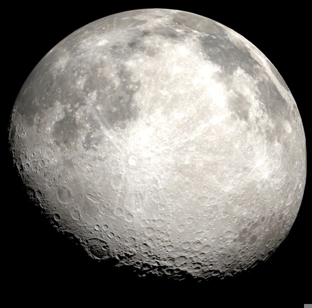
    At the Moon's south pole the Sun never rises more than a few degrees, so a single ridge decides whether a lander has power and a radio link to Earth. Claude's P.L.A.N answers, for any site and any hour from 2026 to 2029, whether the Sun and Earth are above the real terrain skyline, using NASA's LRO LOLA elevation data and JPL's DE421 ephemeris, and checked against JPL Horizons (0.0007 degrees) and NASA's own illumination maps (within 4.3 points). The web app has a Simple view for anyone and a Detailed view for mission planners. It compares landing sites, shows what a two-week launch slip costs, finds every day a mission can land, and tests the whole polar region against NASA's Artemis III landing requirements: 14.3% of the ground passes, in 5,297 "Goldilocks zones". A VR mode on Meta Quest 3, with a narrated three-stage journey, lets you fly to the pole and stand at a landing site as the real Sun and Earth move across its sky.

    Read moreShow less

    Team: Eugenio Bustamante, Nguyen Trung Kien Dang, Xuan Minh Chinh Truong, Ahmed Diallo, Rehan Deenadayalan, Luke O'Hora

    • 2026

    Moontest - Lunar Landing Site Globe

    by Glorpo Florben

    Lunar Landing Site Navigator

    An unfinished 3D Godot application that shows a list of all lunar missions that resulted in a touchdown on the Moon, crash or otherwise. Intended to show LOS to Earth, Sun with down sampled NASA heightmaps for precise LOS calculations. Horizon API is used for positions and LOS. Scope addresses the challenge, showing previous lunar missions will make users notice patterns and try to derive why previous missions were in certain locations, Earth/Sun LOS are important. Terrain Elevation is also important. Date range for duration of mission.

    Read moreShow less

    Team: Cody Reams

    • 2026

    Sun Shade

    by HackSlop

    Lunar Landing Site Navigator

    We created an interactive lunar landing planner web application where we successfully tackled all criterions and went beyond by creating more than just the dashboard. We've polished this project to ensure its usage in production and to ensure the website runs smoothly. This project is important because it can help Lunar Mission Planners plan missions smoothly and with success.

    Read moreShow less

    Team: Zijie Yuan, Davit Gamjashvili, Nicolas Campan

    • 2026

    Moonle | Lunar Landing Site Navigator

    by Moonle

    Lunar Landing Site Navigator

    Moonle is a landing-site navigator for the Moon’s south pole. We developed a data pipeline and web app that turn open NASA data, LOLA terrain elevation (240 m per pixel) and the JPL DE421 ephemeris, into decisions a mission planner can use. For each site, Moonle computes the terrain skyline and the hourly positions of the Sun and Earth over three years. It then adds engineering models that estimate solar power, battery survival and the Earth communications link. The results show how much sunlight a site gets, its longest night, when Earth is in view, the battery needed to survive, and which landing dates work if a launch slips. [Users can also test their own south-pole coordinates.] This addresses the challenge by turning raw data into clear answers for choosing and comparing landing sites. It matters because the south pole is where future missions want to go, and picking a site there is slow and expert-only. Moonle makes that analysis faster, more accessible and open to check, with validation against JPL Horizons and stated limits.

    Read moreShow less

    Team: Oliwier Sobczak, Hanok Libu

Field Shift: Adapting Farms with NASA Data ∙ 3 projects

The challenge
    • 2026
    • 2nd place in Athlone

    Harvest Star

    by National Agricultural Spud Administration

    Field Shift: Adapting Farms with NASA Data

    In short: a farmer taps a field and answers four questions, and Harvest Star tests their crop rotation against every season NASA has measured over that field since 1984. The NASA weather is calibrated with Met Éireann's local records and costed with Teagasc figures, and the results come back as three plain options.

    Read moreShow less

    Team: Michael Wilde

    • 2026

    GrowÉire

    by KIPISH

    Field Shift: Adapting Farms with NASA Data

    GrowÉire is a free website that helps farmers plan which crops to grow and in what order. Farmers know their land well, but the weather is changing and it's getting harder to know what to expect. We use 25 years of NASA weather and satellite data to show how each month has usually gone on a farmer's land: how often it's been too dry, too wet, too hot or frosty. Everything is explained in plain, everyday language. The farmer finds their field on a map and tells us what they've grown and what matters most to them. GrowÉire then compares their current rotation with two or three other options and explains the benefits, the risks and what's worth talking through with their advisor. This answers the Field Shift challenge by combining NASA data with local soil, crops and the farmer's own priorities to find rotations that protect the soil and cope better with changing weather. It matters because one bad season can cost a farm a whole year's income, and healthy soil takes years to rebuild. We started with Ireland, but it works anywhere, turning complex space data into simple advice for farmers.

    Read moreShow less

    Team: Dmytro Hryshchenko, Vladyslav Zakharchenko, Valeriia Slastin

    • 2026

    v203

    Field Shift: Adapting Farms with NASA Data

    Field Sowing helps a farmer check whether a crop fits a field before sowing. The farmer marks the field, or reads a Bluetooth soil probe with their phone, then enters the day the field is free, the soil, the crop, and the irrigation type. The site uses the last ten years of NASA POWER weather at that point and compares them with published crop needs. It answers when to sow, whether the crop matures before frost, and whether rain, sunshine, and warmth are enough. The farmer makes the final decision.

    Read moreShow less

    Team: Aleksandr Veselov, Leonid Tkach, Shuaib shazili

Harmonization of MODIS and VIIRS Hot Spots ∙ 3 projects

The challenge
    • 2026

    DrySpell: Harmonized MODIS + VIIRS Fire Calendar

    by DrySpell

    Harmonization of MODIS and VIIRS Hot Spots

    DrySpell is a web app that turns two generations of NASA satellite fire detections into one consistent fire-activity calendar. MODIS has recorded active fires since 2000; VIIRS is newer and much more sensitive, so simply joining the two records creates a fake jump in activity. We put both on a common 0.25° grid, count detected cell-days per month, and fit one VIIRS-to-MODIS factor per country on Nov 2024 – Jul 2025. On five held-out months (Aug – Dec 2025) disagreement with MODIS fell in all four regions; in Ireland, for example, the error dropped from 3.8 to 1.2. The result is a 312-month calendar (Nov 2000 – Oct 2026) for Ireland, the UK, Spain and France, where any month can be compared with its historical median, with CSV/SVG export. Around this history we added a 24-hour fire-detection probability map built with NOAA GFS weather, wind-driven spread scenarios for Ireland, and a low-cost ESP32 temperature sensor that streams readings to the map. This matters because early-warning teams need to know whether a month is truly unusual, or only measured differently.

    Read moreShow less

    Team: Kyrylo Tonkovyd, Rodion, Amiliia Aziz kyzy, Matvii, weishun aw

    • 2026

    Flame Nebula

    Harmonization of MODIS and VIIRS Hot Spots

    Satellites have mapped wildfires since 2000, but the record is split between two witnesses: MODIS (Terra, Aqua), nearing retirement, and its successor VIIRS (Suomi NPP, NOAA-20, NOAA-21). VIIRS sees smaller fires, so the raw counts of the two sensors can't be compared, and long-term trends break where one hands over to the other. We developed Flame Nebula, a web app that harmonizes both records into one consistent 25-year fire history and makes it usable in seconds. A user picks any area (a region by name, or a shape drawn on the map) and gets a burning activity calendar, area statistics, year-to-year comparison, recurring fire patterns and downloadable data. This answers the challenge directly: the sensor of origin no longer matters, and patterns, trends and anomalies become the focus. It matters because emergency responders, firefighters, land managers and scientists need to know when and where fire comes back, and a broken record hides exactly that.

    Read moreShow less

    Team: Oleksandr Podynihlazov, Vladislav Onishchenko, Oleksandr Motoryhin, Oleksandr Kurilets, Daniel Kramnov, Dmytro Zubal

    • 2026

    FireBridge: One Fire Record from Two NASA Satellites

    by UCD Space Team

    Harmonization of MODIS and VIIRS Hot Spots

    FireBridge harmonises NASA's two wildfire-detecting satellite records, MODIS (since 2000, ~1 km pixels) and VIIRS (since 2012, 375 m pixels), into one consistent 25-year fire record. Because VIIRS sees far more small fires, simply combining the records creates a false jump in fire activity in 2012, and MODIS retires in 2027, so a consistent record is needed now. We processed 15.5 million NASA FIRMS detections: cleaning low-confidence and static heat sources, gridding them into half-degree daily cells, and learning a region-by-month correction from the years both sensors overlap. Tested on unseen years, this reduced the MODIS–VIIRS bias from −86% to −0.4%. On this record, an LSTM model forecasts fire activity and beats climatology and persistence baselines. Our web app serves fire managers, land managers and residents with a global fire overview, a historical fire calendar, forecasts with uncertainty bands, and CSV/PDF downloads. We also built a tabletop "mini satellite" — two infrared sensors sweeping a 3D-printed terrain — to demonstrate the problem physically and show tracking continuing after MODIS is switched off.

    Read moreShow less

    Team: SeungYeon Shin, Ignacio Salto Galdon, patrick ryan, Evan McMonagle, Li An Ma, Tao Luo

Abandoned but not Forgotten: Storytelling about NASA's Discarded Equipment on the Moon and Mars ∙ 2 projects

The challenge
    • 2026
    • Best Local Application

    Still Out There

    by Alice In Astral-land

    Abandoned but not Forgotten: Storytelling about NASA's Discarded Equipment on the Moon and Mars

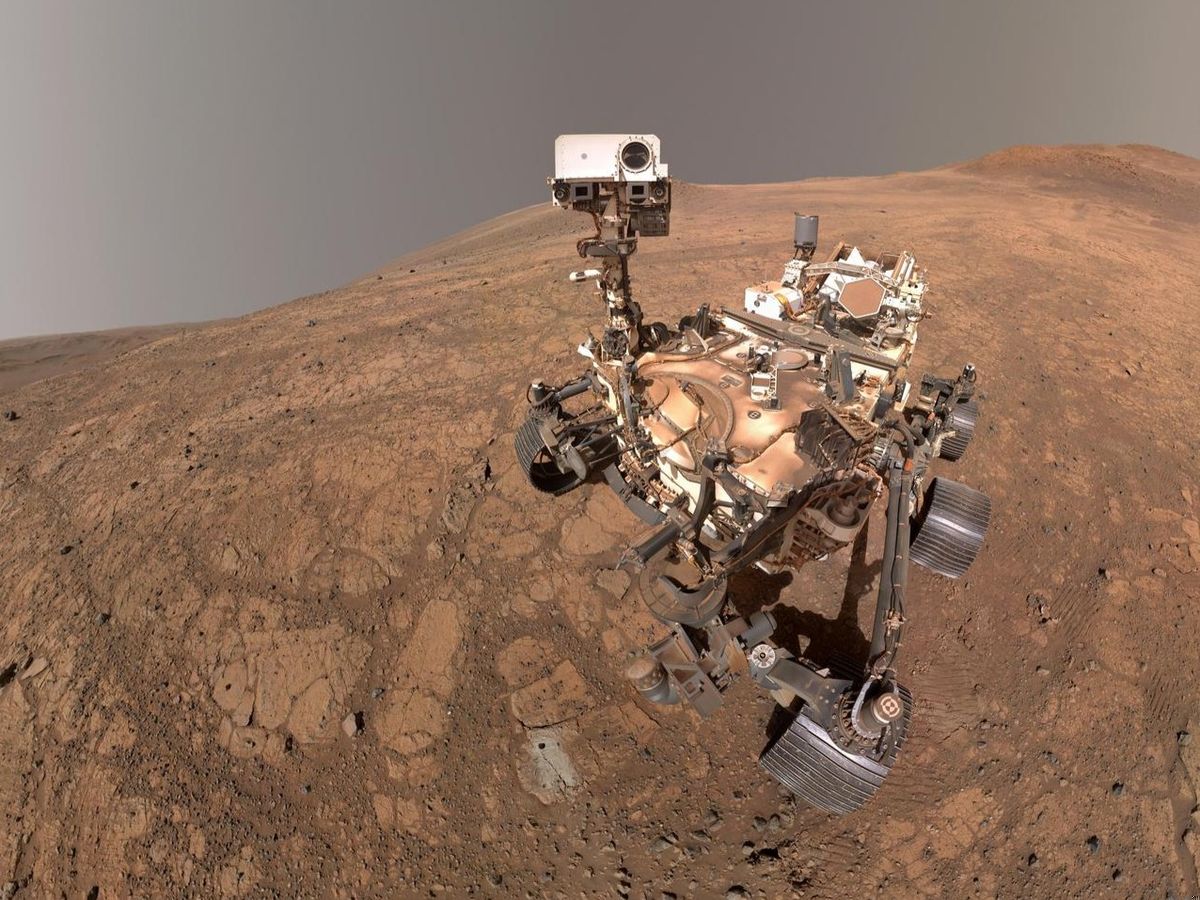
    We developed an audio and visual based storytelling app that explores the stories and journeys of 11 artefacts scattered across our universe. The journey is guided by Echo, a mysterious friend who mentions his personal investment he has in these stories. Echo moves backward in time starting from the crashed Perseverance descent stage to the historical pioneer rovers. Echo passes by 10 artefacts in his journey and has conversations with some of these abandoned artefacts or explain their significance as they are no longer able to share their stories themselves. Each of our artefacts have their own personalities, weaved by us around what they were, their purpose and how they got to where they are today. This project is important because it transforms cold, hardware technological history into an emotional, character driven narrative. By giving a voice our project has the potential to spark curiosity, builds empathy and interest people into exploring deeper into the universe fascinated by what was discovered in the past.

    Read moreShow less

    Team: Ritika Mahajan, Menomi Gamage

    • 2026

    Story of NaSAthlone

    Abandoned but not Forgotten: Storytelling about NASA's Discarded Equipment on the Moon and Mars

    Legacy Guardians: NASA Discarded Space Equipment Storytelling Challenge An interactive web-based educational adventure and visual novel developed for the NASA Space Apps Challenge. Set in the year 2150, players step into the boots of a Heritage Ranger guided by ARCHIE, an advanced archival AI. Together, they journey across the Solar System to rescue 9 historic, retired NASA space missions from impending destruction by commercial mining excavators, falling orbital debris, scrapper drones, and cosmic storms. 🚀 Key Features Tactical Solar System Map: An interactive canvas radar map spanning the inner planets, asteroid belt, and deep interstellar boundary. Visual Novel Presentation: Cinematic character standees (ARCHIE on the left, Ranger on the right) with active speaker highlighting, subtitle consoles, and live archival NASA telemetry displays. Authentic NASA Mission Challenges: 9 custom educational Codex challenges grounded 100% in official NASA science data and telemetry. Declassified Archival Gallery: Unlocking each beacon activates historical mission photos and detailed scientific debriefs.

    Read moreShow less

    Team: Tien Nam Tran

Be An Earth System Trend Detective! ∙ 2 projects

The challenge
    • 2026
    • Best Use of Open Data

    Erevna

    Be An Earth System Trend Detective!

    Earth Trend Globe is an interactive 3D globe that shows how Earth’s climate has changed since 1981. It also shows which of those changes are real. We used 45 years of NASA POWER data (MERRA-2, CERES and GEWEX SRB) for six variables: temperature, humidity, rainfall, sunlight, air pollution and ozone. The data covers 16,020 points around the world. Users can click anywhere, choose a region, or draw their own area. Each area gets a trend per decade and a significance test that allows for month-to-month memory in the data. If a change isn’t clear yet, the app says how many more years of data it would need. A “data detective” mode suggests places worth exploring. Live storms, floods and fires from NASA EONET are linked to the long-term trend at the same spot. A statistical outlook, tested on 2008 to 2025, shows what 2040 could look like for 184 areas. This matters because a single heatwave or flood is easy to mistake for a trend. Our globe separates real change from natural ups and downs, and it explains everything in plain language. It is honest about what the data does and doesn’t show.

    Read moreShow less

    Team: Jovan Tomy, Ryan Jyothis, Dhananjai Sudarshan, Síofra Dennehy, Brandon Shumba

    • 2026

    TerraLens

    by The Cosmic Cartographers

    Be An Earth System Trend Detective!

    TerraLens starts from a place and finds what is really changing there. Pick one of five regions (Ireland, Iberia, the Sahel, NW South Asia or the US Southwest), and TerraLens tests five NASA Earth-science variables over 1980–2025: air temperature, soil moisture, evapotranspiration, precipitation and aerosol, all from MERRA-2 via NASA GES DISC. It ranks what is changing, shows how fast with a 95% confidence interval, and gives each variable a plain verdict. We adjust every p-value with the Benjamini–Hochberg method to keep false discoveries. Opposite Trends puts two places side by side: US Southwest rainfall is falling while NW South Asia’s is rising. The Time Machine shows how the verdict changes with the years you choose, and how long a record would be needed to detect a trend that isn’t proven yet. This covers every step the challenge asks for: choosing variables, getting regional data, building long time series, and measuring both the rate and the significance of each trend. It matters because charting tools draw a trend line without saying whether it is real. TerraLens tells students and the public what is changing, how sure we can be, and when the honest answer is “not proven yet”.

    Read moreShow less

    Team: Bhargav Lalit Chaudhari, Parth Soni, Kevin Henry, Nandini Hazarika

Dancing with the SARs ∙ 2 projects

The challenge
    • 2026
    • 1st place in Athlone
    • People’s Choice

    HOUSEFAX

    Dancing with the SARs

    HouseFax is a satellite background check for any home in Ireland. About 50,000 Irish households already sit in high-risk flood zones, and once a home floods it can lose flood insurance for good. Yet the official flood maps don't show individual properties, so buyers and renters usually find out after they sign. HouseFax uses NASA-ISRO NISAR L-band radar, which sees water straight through Irish cloud, to check every radar pass for standing water around a home. It adds 25 years of NASA FIRMS fire detections and the live River Shannon level, and turns it all into a 0-100 score with a grade, a flood timeline and the questions to ask the landlord or seller. We processed 7 real NISAR GCOV passes (June to October 2026) over the Shannon from Athlone to Shannonbridge, detecting water in every 150 m cell from HV/HH backscatter. HouseFax runs as a web app, works on phones, and comes with a Chrome extension that grades listings on Daft.ie, Ireland's main property site. People get satellite evidence before they sign, not after.

    Read moreShow less

    Team: Aarush Prasad

    • 2026

    ROCKET BOYS

    Dancing with the SARs

    DRISHTI is a browser app for exploring surface change in NASA-ISRO NISAR (L-band) and ESA Sentinel-1 (C-band) radar images. It compares any two satellite passes over the same place, shows what got rougher or smoother, drapes the result over 3D terrain, tests which weather or earthquake conditions were unusual before each event, and explains the scene in plain language with Google Gemini. Built by Rocket Boys (Devesh Shetty and Pranav Sharma) for the NASA Space Apps Challenge 2026 challenge Dancing with the SARs, at Hack Athlone.

    Read moreShow less

    Team: Pranav Sharma, Devesh Uday Shetty

Planet X and SPHEREx ∙ 2 projects

The challenge
    • 2026

    BEYONDSIGHT

    Planet X and SPHEREx

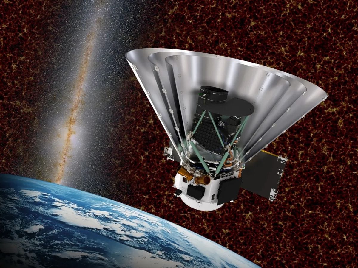
    NASA’s SPHEREx mission launched in May 2025, has mapped 100% of the sky every six months across 102 near-infrared spectral bands(0.75"-" 5.0 μ"m)" , capturing over billion objects. This satellite captures a vast amount of data which no scientist or automated pipeline can sift through a billion overlapping sources alone, and raw Multi-Extension FITS archives lock out the public behind complex python workflows. BEYONDSIGHT is a public, mobile ready web application that transforms SPHEREx and Canadian Space Agency (CSA) NEOSSat archives into an interactive “Google Earth for the cosmos”. Featuring continuous multi-wavelength slider (visible to microwave across DSS, 2MASS, SPHEREx, WISE, IRAS, and Planck), a 384x384 multi-epoch blink and difference imaging comparator with yearly proper-motion rings, on-the-fly 102-band spectrophotometry, and Gaia DR3/NEOSSat overlays, BEYONDSIGHT puts cosmic discovery in everyone's hands, turning a billion points of infrared light into an interactive hunt for new worlds.

    Read moreShow less

    Team: Marta Maqueda, Rudra Priya Narayan Joshi, Jamie Cullen

    • 2026

    SkyDive

    by Debugonauts

    Planet X and SPHEREx

    SkyDive is a web tool that turns any patch of sky into a movie covering sixteen years. Enter coordinates and it lines up WISE images from 2010 to 2024, Pan-STARRS epochs, and SPHEREx visits from 2025 onward in 102 infrared colours. You can play a video that iterates through frames, stack and subtract groups of visits so anything that moved or changed stands out, click a source to get its spectrum and light curve, and overlay Gaia, CatWISE, asteroid and variable-star catalogues, with each marker moved to the frame's date. A 3D map holds 331,802 stars and brown dwarfs within 100 parsecs, with a ±50,000-year time slider; click a star to open its SPHEREx view. A single SPHEREx pixel is 6.2″ across, so on its own SPHEREx cannot show slow motion. Adding the WISE frames stretches the baseline to sixteen years, and that makes the motion visible. Barnard's Star, for example, moves about 145″ across the WISE frames. The browser holds every aligned exposure, so stacking, choosing wavelengths and measuring spectra happen instantly, and anyone with a browser can search for moving or changing objects without downloading archive files or writing code.

    Read moreShow less

    Team: Mark Drohan, Daniel tyutyunkov

Flame in Freefall: SI-Powered Fire Safety Insights from Microgravity Combustion Data ∙ 1 project

The challenge
    • 2026

    StarFire

    Flame in Freefall: SI-Powered Fire Safety Insights from Microgravity Combustion Data

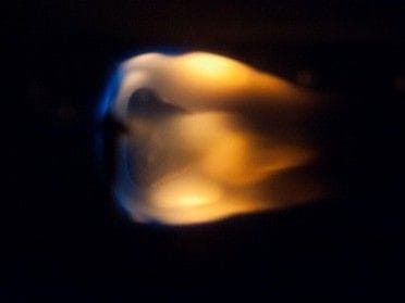
    Do you know the exact flammability risk of materials used across space stations? If not, don't worry, navigating NASA’s Physical Sciences Informatics (PSI) repository with over 100 microgravity combustion investigations can be overwhelming, unless you already know exactly where to look. That's why I built StarFire, an interactive assistant that turns raw curiosity into structured research discovery. Rather than presenting another passive catalog, it invites users to ask their own questions in plain English, whether about material flammability, flame spread, smoke detection, or fire suppression, and instantly serves up a ranked shortlist of relevant investigations. Each result comes with a tailored, AI-generated research note explaining its direct connection to your question, highlighting useful metadata evidence, offering a cautious interpretation and suggesting a concrete next research step. Users can inspect the raw metadata, follow original NASA source links, compare investigations side-by-side and download a research brief. All you need to bring is curiosity and an initial query and StarFire kickstarts your research journey! Ultimately, finding relevant research does not mean a dataset is immediately ready for modeling or that a safety conclusion is proven. StarFire keeps source evidence transparent and separate from AI interpretations, giving researchers a reliable launchpad without replacing scientific judgment. Happy researching 🚀!

    Read moreShow less

    Team: Soukaina Rhazzafe

Identify Earth Locations that Analog the Permanent Moon Base Locations and Mars ∙ 1 project

The challenge
    • 2026

    ExoMetric

    by ReHackedAthlone

    Identify Earth Locations that Analog the Permanent Moon Base Locations and Mars

    Identifying Earth Locations that Analog potential Base and Landing locations on terrestrial bodies. We developed a custom web app called ExoMetric to use to compare Earth locations to lunar and Martian locations. By selecting a location on either the Earth, Moon or Mars, this web app allows you to compare various factors across the other bodies using open source NASA and other data. The webapp also allows you to see more information about how the data was gathered and how it might affect the mission viability. There is a number of toggles available to influence how strongly you want to consider each individual parameter, which would vary based on the nature of the mission, be it an unmanned or manned mission.

    Read moreShow less

    Team: Liam O'Sullivan, Charlie Flynn, Christian Nicolae Turean, Louis Malaurie Wan, Stuart Whitney

Space Mission Design Game ∙ 1 project

The challenge
    • 2026

    Operation Phainon

    Space Mission Design Game

    A interactive spacecraft simulator with storytelling and real world physics, procedures and data including space orbit and deep space travel along with a key focus on research and innovation.

    Team: Aiden Casey Hayes, Alexander Healion, Daniel Leszczynski, Jim Carney, Leon Macken, Roland Janson

All 14 challenges

All 14 challenges

  • Advanced

    Be An Earth System Trend Detective!

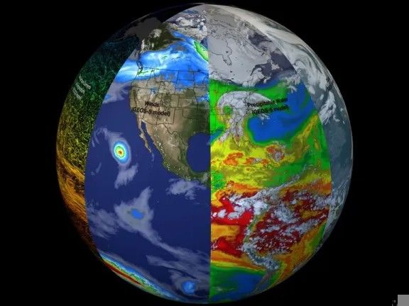
    Your challenge is to create a tool that can select variables measured by Earth science missions or produced by Earth science models, visualize how they change over time, and determine what is changing, where it is changing, how much it is changing, and if these changes are what scientists call “significant.”

    Earth Science · Software

    13 resourcesVideoOther agenciesCSA (Canadian Space Agency)
  • BeginnerIntermediate

    Build a Junior Astronaut Mission Trainer

    Your challenge is to design and build an interactive game or app that lets students run a lunar or Martian outpost, balancing competing demands like life support, radiation shielding, power, and food production, so they experience firsthand the decisions that determine whether a mission fails or succeeds.

    Games · Planets & Moons · Software · Space Exploration · Sun

    7 resourcesVideoCSA (Canadian Space Agency)
  • Intermediate

    Create Health Monitoring Software for Astronauts on Space Missions

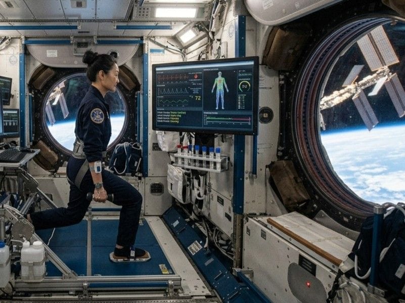
    Your challenge is to build a health monitoring software that gathers health indicators and enables astronauts to evaluate and act on the status of their health.

    Human Exploration · Software · Space Exploration

    5 resourcesVideoCSA (Canadian Space Agency)
  • IntermediateAdvanced

    Dancing with the SARs

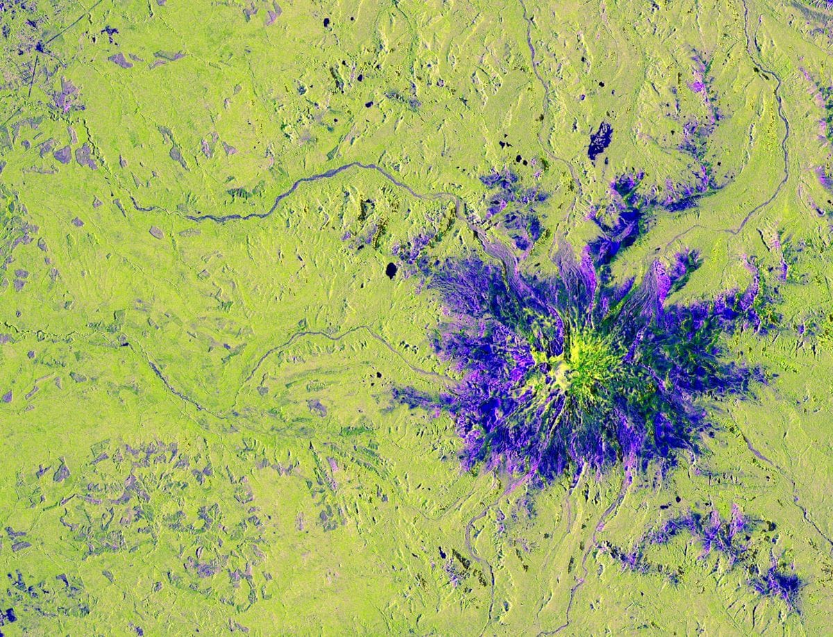
    Your challenge is to build an interactive application that uses radar remote sensing data from the NASA-ISRO Synthetic Aperture Radar (NISAR) mission to track and visualize one or more types of surface change at locations around the world.

    Earth Science

    14 resourcesCSA (Canadian Space Agency)National Space Activities Commission of Argentina (CONAE)
  • IntermediateAdvanced

    Field Shift: Adapting Farms with NASA Data

    Your challenge is to create a decision‑support tool that uses NASA Earth observations along with local soil information, crop characteristics, and farmer priorities to help farmers explore rotation strategies that could strengthen soil health and adapt their farms to changing conditions.

    Arts & Multimedia · Earth Science · Software

    24 resourcesVideoESA (European Space Agency)
  • IntermediateAdvanced

    Harmonization of MODIS and VIIRS Hot Spots

    Your challenge is to build a web application that harmonizes these records into a burning activity calendar based on active fire hotspots, enabling early warning and emergency responders, scientists, and land managers to examine historical fire patterns, unusual conditions, and critical periods within a selected area of interest.

    Earth Science · Software

    1 resourcesVideo
  • BeginnerIntermediateAdvanced

    Identify Earth Locations that Analog the Permanent Moon Base Locations and Mars

    Your challenge is to use open Earth, Moon, and Mars data from NASA and other space agencies to identify and characterize new terrestrial analogs for future bases or landing sites, drawing on deserts, polar regions, volcanic and arid terrains, caves, and other environments that share conditions with the lunar or Martian surface, then present your findings as a map, visualization, or other tool.

    Earth Science · Planets & Moons · Software · Space Exploration

    11 resourcesVideoCSA (Canadian Space Agency)ESA (European Space Agency)JAXA (Japan Aerospace Exploration Agency)
  • Intermediate

    Interplanetary Survival Guide: Martian Map

    Your challenge is to create a layered, integrated view of a location or route on the Martian surface that pulls together data from multiple NASA science missions and could help a human explorer plan and carry out a successful Marswalk while conducting new and exciting science along the way.

    Human Exploration · Mars · Planets & Moons · Software · Space Exploration

    5 resources
  • IntermediateAdvanced

    Lunar Landing Site Navigator

    Your challenge is to create an intuitive tool or application that lets mission planners, educators, and the public compare landing sites and dates quickly, visualizing Sun and Earth positions relative to the horizon to assess power generation potential and direct-to-Earth communication windows.

    Human Exploration · Moon · Software · Space Exploration

    4 resourcesCSA (Canadian Space Agency)
  • Advanced

    Planet X and SPHEREx

    Your challenge is to create a public-facing web tool to display images of the sky from SPHEREx mission, making it easy for anyone to quickly see how they change over time.

    Astrophysics · Planets & Moons · Software

    8 resourcesCSA (Canadian Space Agency)
  • BeginnerIntermediate

    Space Mission Design Game

    Your challenge is to create an interactive game that allows participants to design, manage, and simulate a complete space mission while making engineering decisions, managing limited resources, and evaluating how each choice shapes the success of their mission.

    Games

    9 resourcesVideoCSA (Canadian Space Agency)
  • BeginnerIntermediate

    The Earth Information Jukebox

    Your challenge is to build an "Earth Jukebox"—an interface, script, or application that pairs EIC visual frames with dynamic sonifications generated in real time.

    Arts & Multimedia · Earth Science · Software

    11 resources

Challenge summaries and images are from the NASA Space Apps Challenge. Each challenge links to its official page.